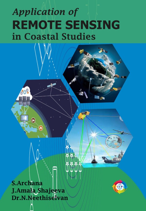
Fishers require timely information and data to exploit the fishing grounds in the fishing process. Remote sensing plays a major role in providing fishers with remote observations of the fishing grounds. Therefore, this technique is essential in the fishing process. To aid the process of fishing, remote sensing technique is employed to carry out various tasks. In this book first chapter explains about the basic process behind the process of remote sensing. It will give clear idea about the parts, electromagnetic waves, frequency, wavelength, etc. and how the image is being recorded in the screens. Second chapter deals with the use of remote sensing in coastal ecology. This technique is very much need to map the diversity of mangroves, coral reefs and its resources. Images being captured with the remote sensing technology will show the colour variation on sea surface. We can know about the SST, Chlorophyl content, etc by seeing the image itself. Fishers need this information for the sustainable fishing practice and it will lead to economic fishing operation. Third chapter of this book gives an account of how GIS, GPS, Echosounder and SONAR like instruments are being operated with the data derived from remote sensing technology. Operation of these instruments while fishing will reduce the searching time and reduce the fuel consumption. Fourth chapter describes the shoreline current, wind, wave, tide, storms, sea level rise and causes of anthropogenic activities. These variations can be monitored with the use of remote sensing technology. We can track the difference in shoreline area with the passing years. Marine water quality monitoring based on the colour variation in the remote sensing images is covered in the fifth chapter. Sedimentation, contamination, chlorophyl content are the reason for different colours on ocean surface. Climate change on ocean environment also being tracked by using remote sensing technology, which is covered in sixth chapter. Mariculture activities and coastal zonation in the ocean ecosystem is listed in seventh chapter.
Sale
Original price was: ₹640.00.₹512.00Current price is: ₹512.00. ₹


Reviews
There are no reviews yet.